
As an Esri Silver Level Partner, we understand the challenges organizations face in optimizing navigation within their facilities. Navigating complex indoor and outdoor spaces can be a daunting task for both employees and visitors, leading to inefficiencies, frustration, and reduced productivity.
Our solution provides a user‐friendly wayfinding system that guides individuals seamlessly through indoor and outdoor spaces. You can gain real‐time insights into the location and status of assets. We tailor our wayfinding and Indoor Positioning System (IPS) solutions to meet the specific needs of your organization.
Simplify building navigation, enhance employee efficiency, and elevate visitor experiences.
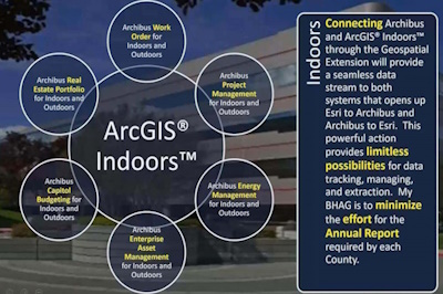
Create a unified source of your building management, integrate facility data with other sources, and seamlessly connect with existing systems.
Add the blue dot to indoor maps to ensure efficient navigation throughout your facilities and empower visitors and staff with dynamic indoor location experiences.
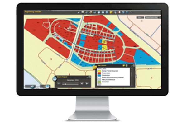
Learn more about this product from hand‐picked resources from our extensive library.